Aerial Photographic Survey with Drone Services
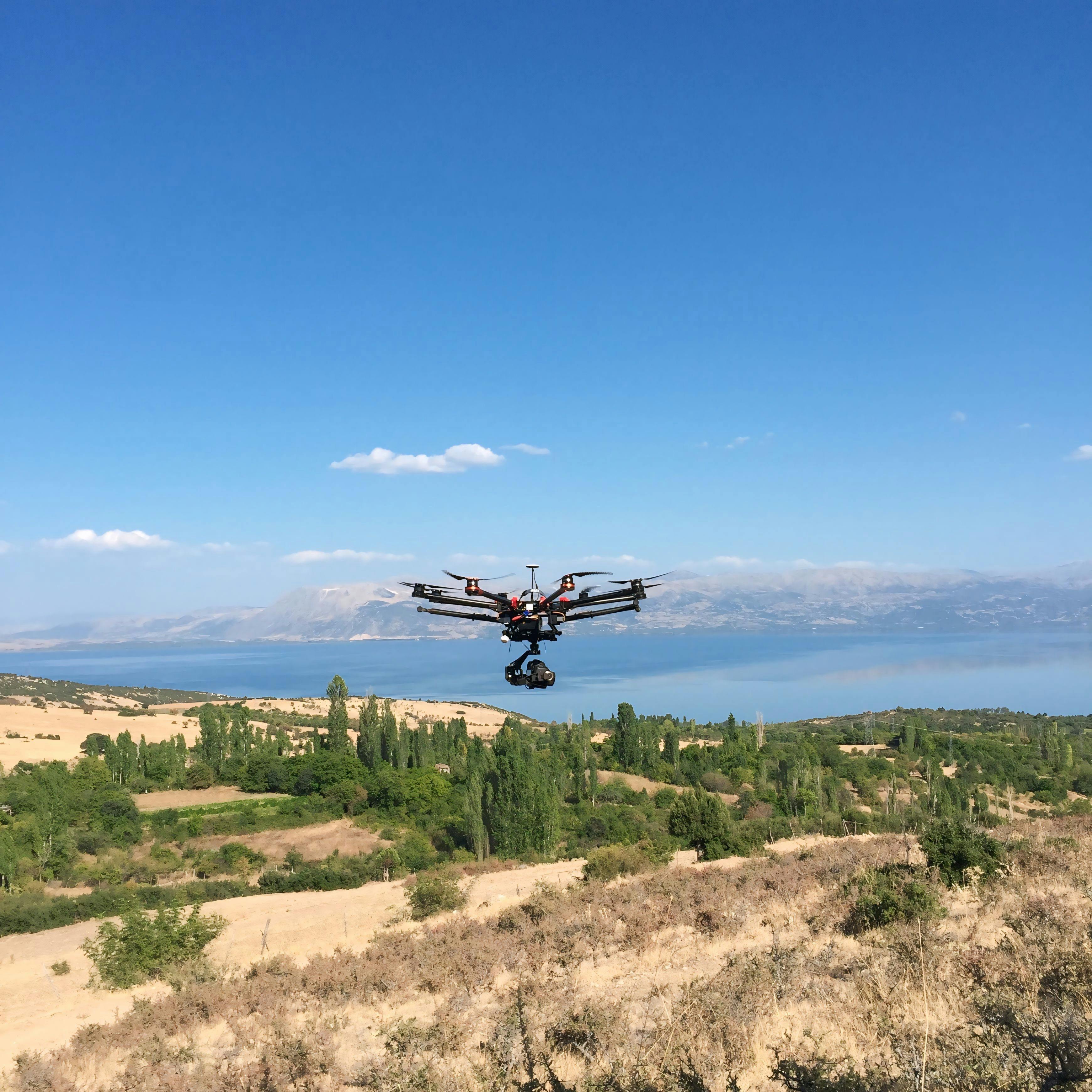
We provide professional aerial photographic survey services using advanced UAV technology for precise, efficient, and cost-effective land mapping. Our drones capture high-resolution aerial imagery and orthomosaic maps that help to inform decisions in surveying and planning. Our Drone Survey Capabilities :
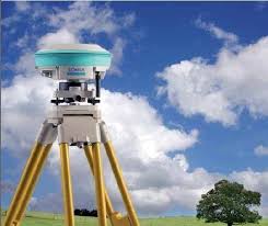
DGPS Survey
Loqators owns the DGPS equipment required to carry and manage all forms of data collection, topographic survey, asset survey. DGPS survey provides improved location accuracy which enables many location based businesses to have a better decision making on the market to foresee their growth.
Loqators offer services using latest technology and tools at very cost effective range.
Mining Survey
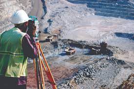
Surveying and mapping practice in the mining industry encompasses most surveying fields; its main difference is that it has a direct effect on the safety of people working in the mines. Accurate surveys and reliable maps are a prerequisite to a successful mining operation. If an accident occurs, such as a roof fall or an onrush of water or oxygen-deficient air, surveying operations must be performed immediately to aid in rescue efforts. Time is important, and confidence in the surveying and mapping system of the mine is essential. If a rescue borehole is needed, a spatial position must be promptly established on the surface or in an adjacent mine; a good surface-underground three-dimensional coordinate system is required.
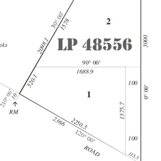
Major and Minor Subdivisions
Dividing land parcels into one more lots is termed as subdivision and this can be done for agricultural, commercial, residential properties etc. Loqators are specialised to perform this task in an effective manner using latest equipment.
This technology helps to capture hundreds of square kilometers in a days span. Both aerial imagery and LiDAR data can be captured and delived in various formats. Most importantly, with the correct ground control and planning, the informational indexes can precisely be merged to create robust digital terrain models, parametric mapping and image mosaics of any area or corridor. Marking of the control points can also be done before flying.
Survey Plan Preparation
Loqators professional survey team is proficient in preparation of land plans, who identify and record each and every feature and measurement that contributes to the property. Land survey plan will be prepared in detailed and will also be explained to client as needed.
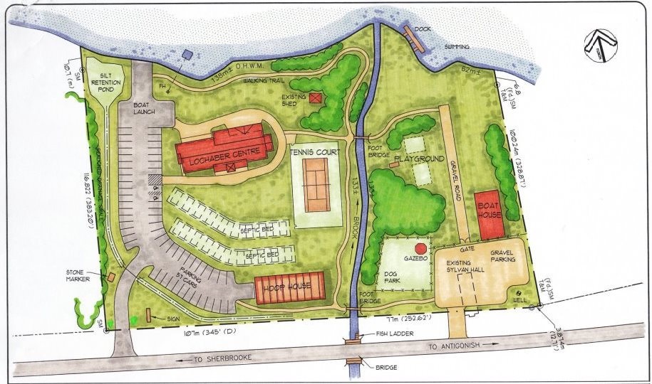
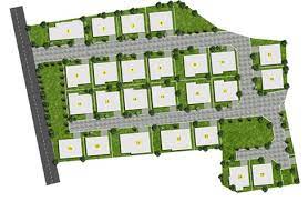
Layout Survey
One of the Proficient services of Loqators is Layout survey and mapping. Distributed plots will be designed as per the need and best utilization of land give mamimum benifit as well as better utilization of land.
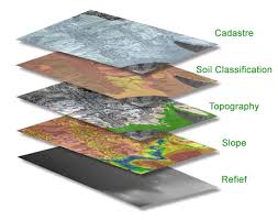
GIS Mapping
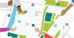
We provide vast range of Geo-spatial services including GIS Mapping, Geocoding, Data Analysis and Data Conversions. Loqators provides very accurate and reliable data cost-effectively. Visual representation of spatial data which links the database and maps that enables to analyse the relationship between them.
Loqators are Proficient in.....
GIS Training
Loqators provides accurate and reliable visual representations of spatial data and its relationship between them, GIS Mapping can create a series of color-coded thematic maps, These maps provide an effective visualization and immediate understanding for specific interest